![]()
![]()
|
|
|
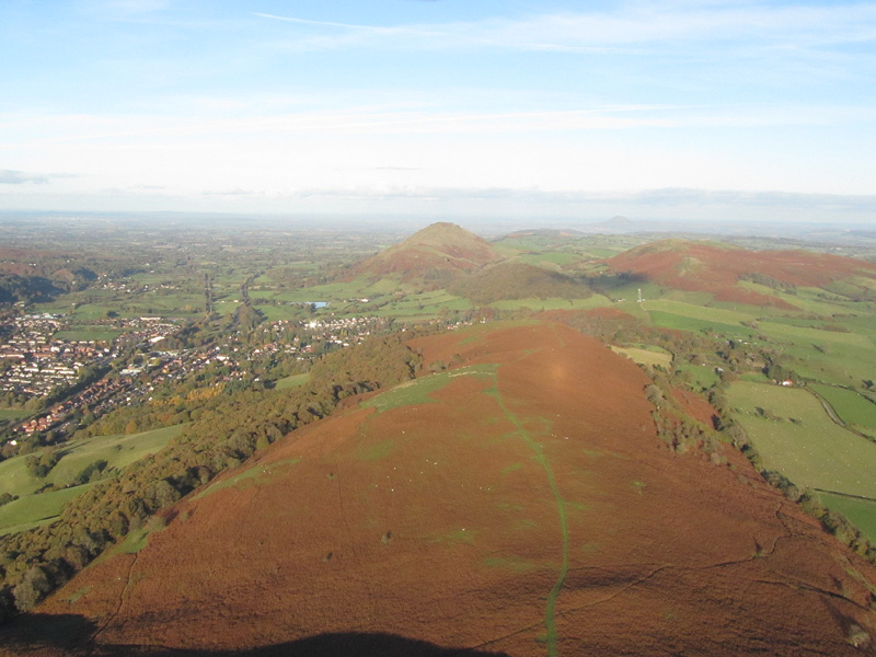
| The Strettons |
Shropshire, England
|
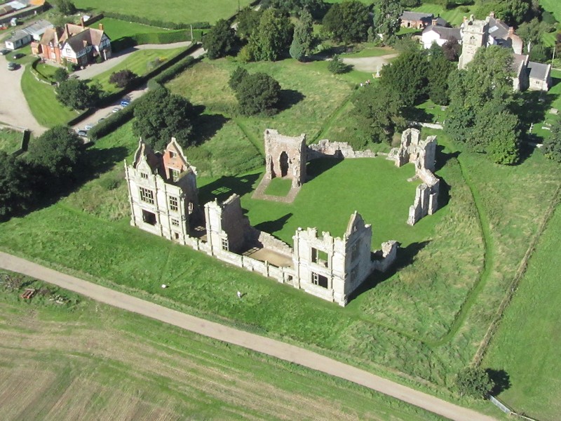
| Moreton Corbet Castle |
Near Shrewsbury, Shropshire, England |
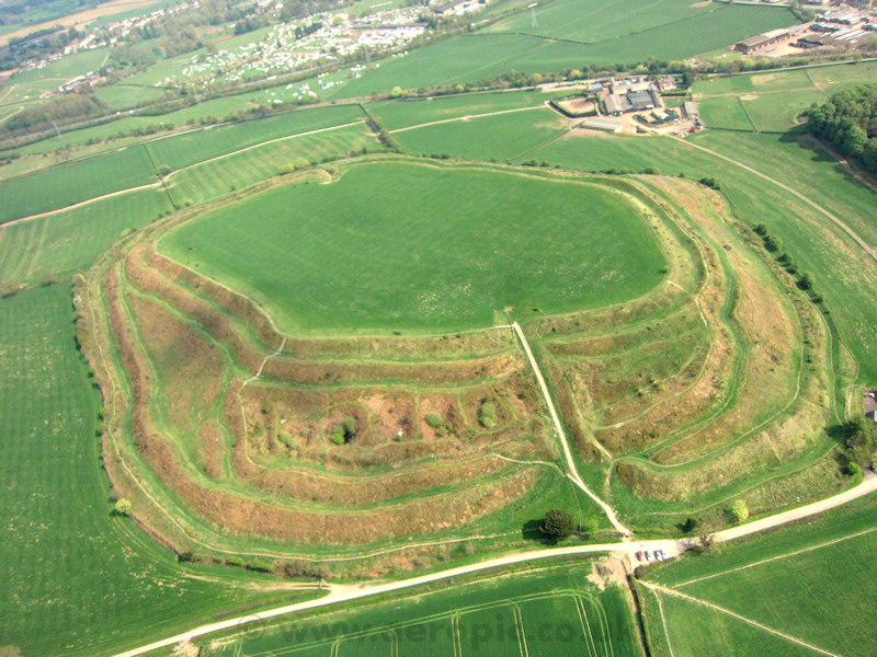
| Old Oswestry Hill Fort |
Oswestry, Shropshire, England |
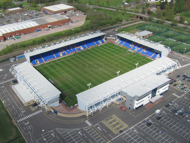
| Shrewsbury Town Football Club |
Shrewsbury, Shropshire, England |
| Horseshoe Pass |
Llangollen, Denbighshire, Wales |
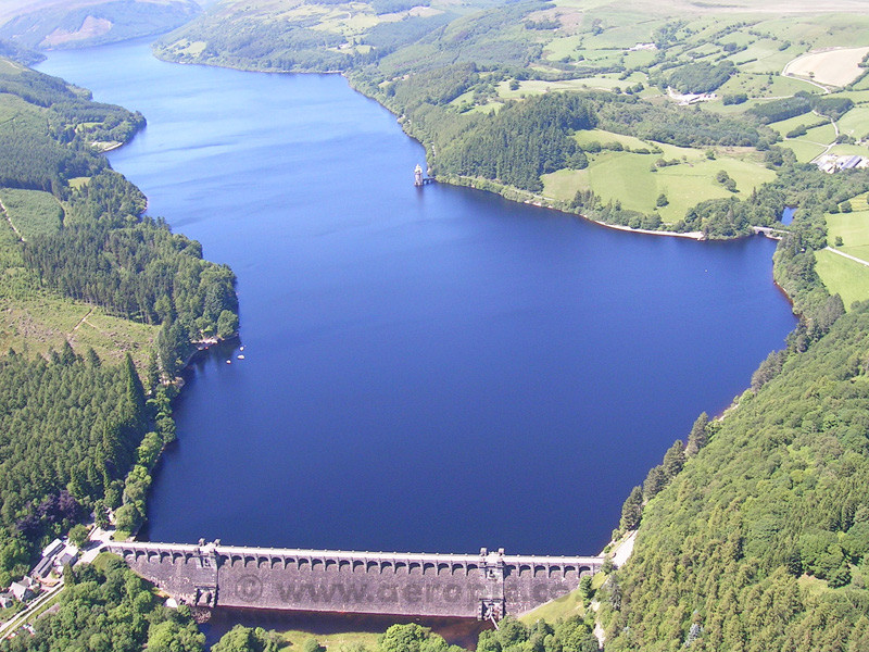
| Lake Vyrnwy |
Llanwddyn, Powys, Wales |
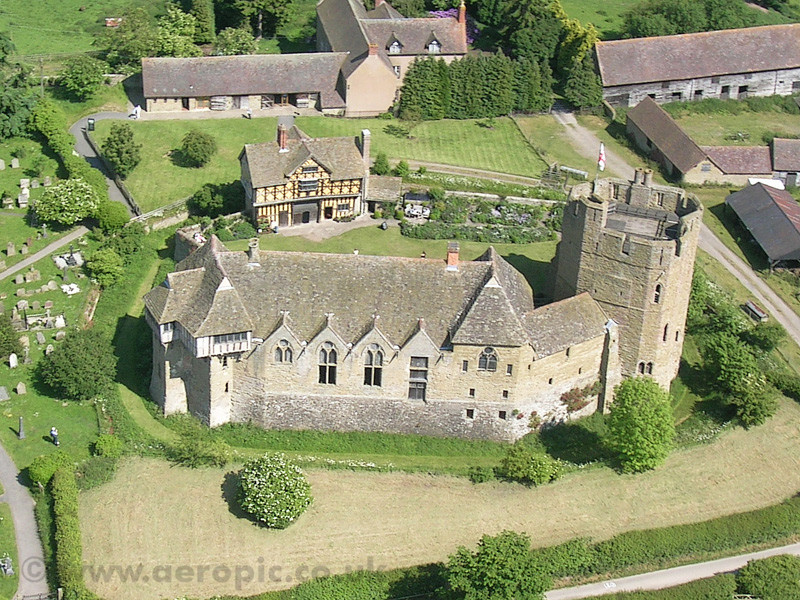
| Stokesay Castle |
Craven Arms, Shropshire, England |
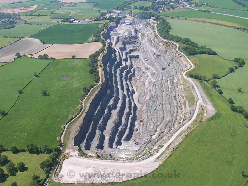
| Bayston Hill Quarry |
Bayston Hill, Shrewsbury, England |
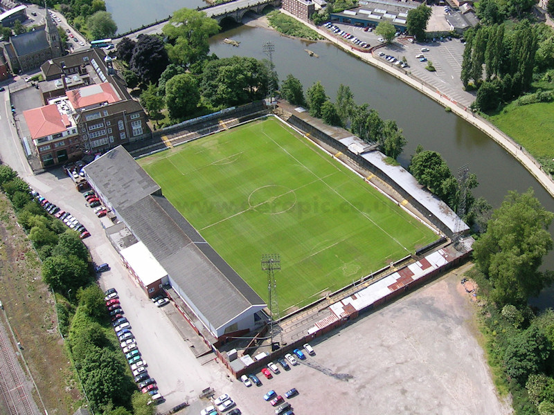
| Shrewsbury Town Football Club (old) |
Gay Meadow, Shrewsbury, Shropshire, England |
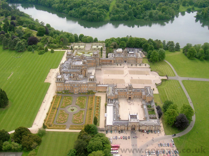
| Blenheim Palace |
Woodstock, Oxfordshire, England |
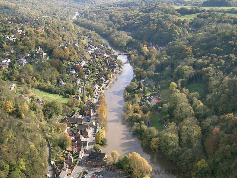
| Ironbridge Gorge |
Ironbridge, Shropshire, England |
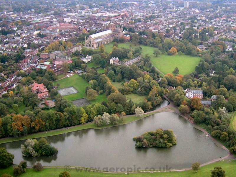
| St Albans |
Hertfordshire, England |
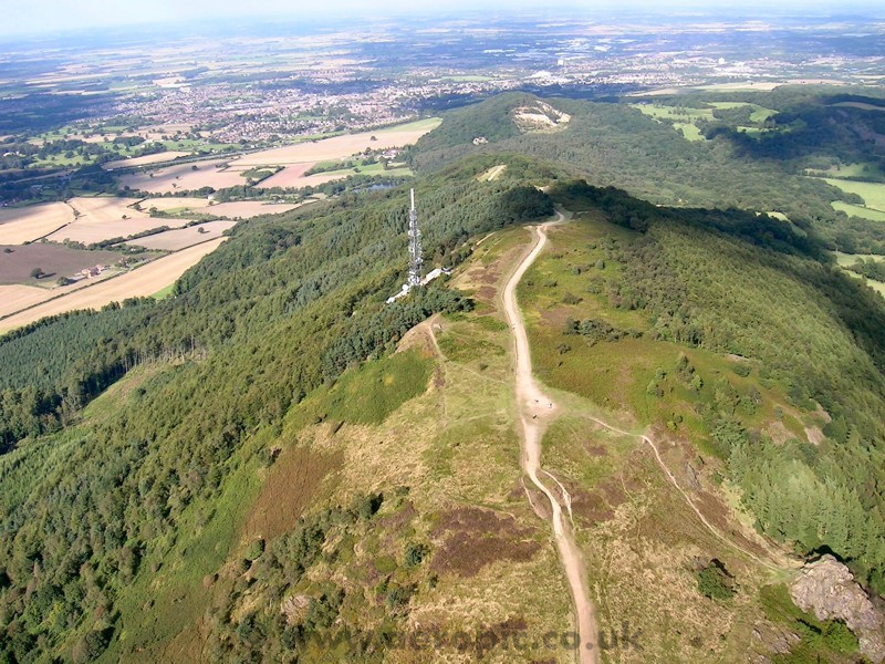
| The Wrekin |
Shropshire, England |
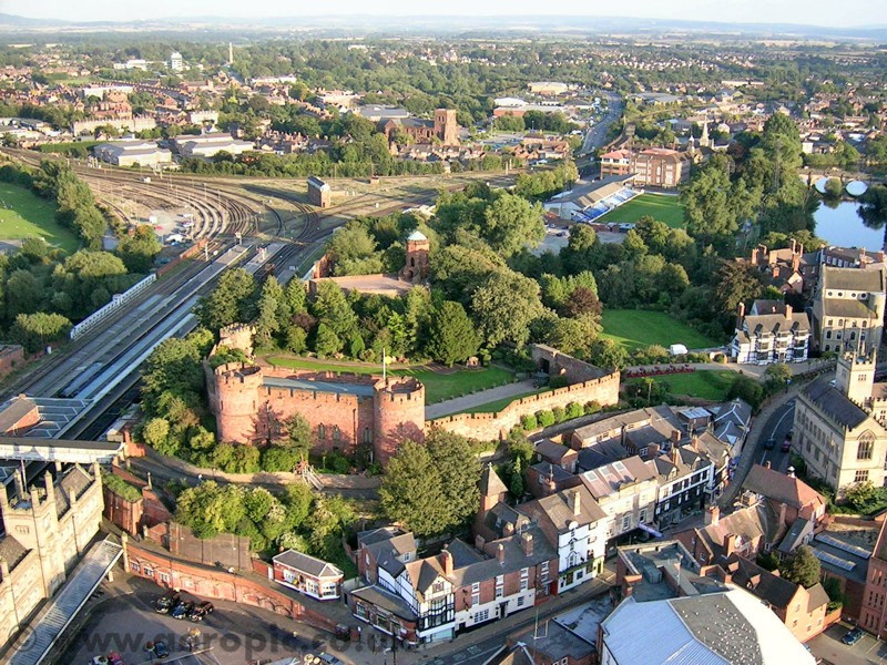
| Shrewsbury Castle |
Shrewsbury, Shropshire, England |
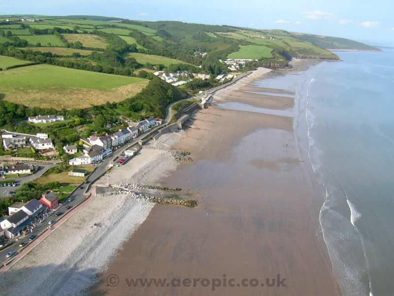
| Pembrokeshire coast |
Amroth, Pembrokeshire, Wales |
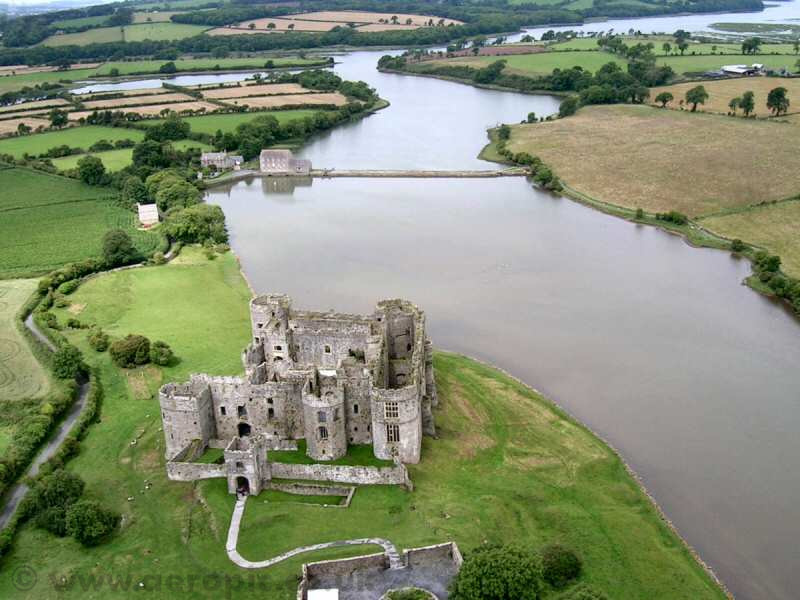
| Carew Castle |
Carew, Pembrokeshire, Wales |
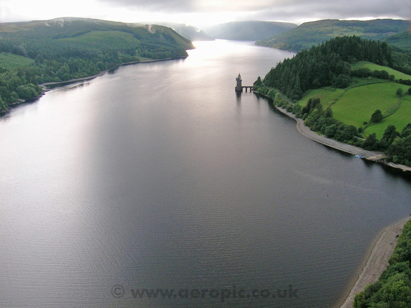
| Lake Vyrnwy |
Powys, Wales |
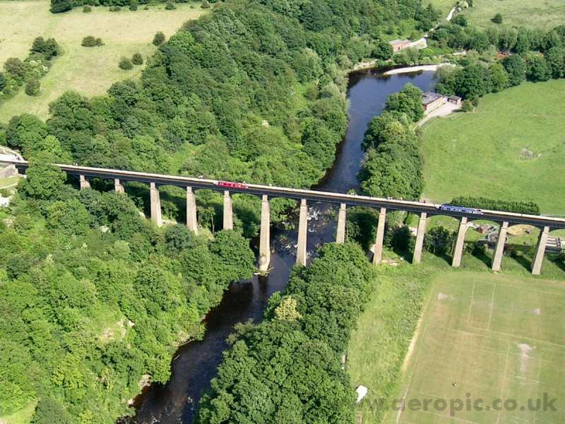
| Pontcysyllte Aqueduct |
Llangollen, Denbighshire, Wales |
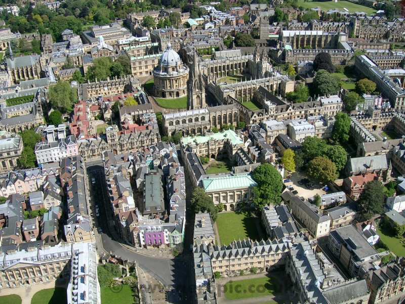
| Oxford |
Oxfordshire, England |
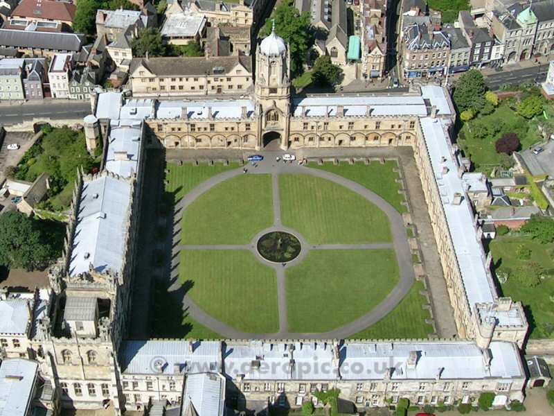
| Christ Church College |
Oxford, Oxfordshire, England |
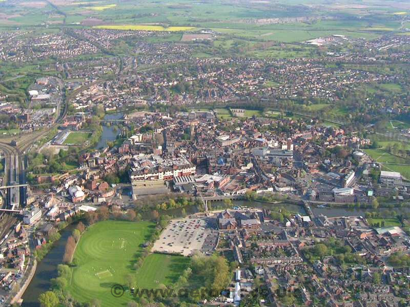
| Shrewsbury |
Shrewsbury, Shropshire, England |
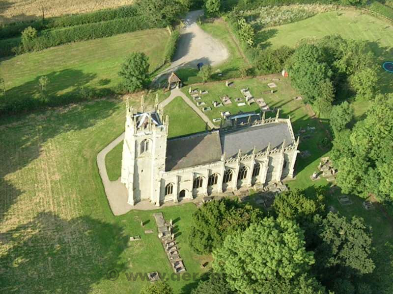
| Battlefield Church |
Shrewsbury, Shropshire, England |
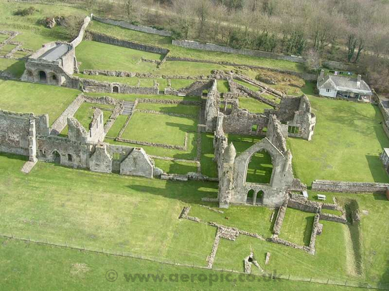
| Haughmond Abbey |
Shropshire, England |
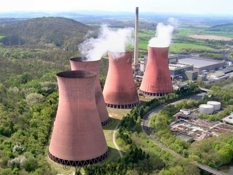
| Ironbridge Power Station |
Buildwas, Shropshire, England |
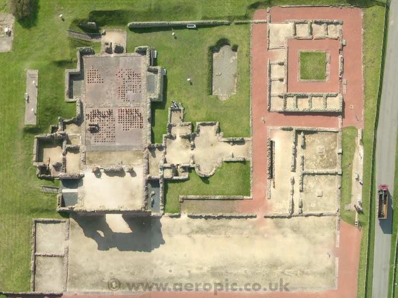
| Wroxeter Roman City |
Shropshire, England |
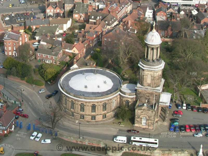
| St Chad's |
Shrewsbury, Shropshire, England |
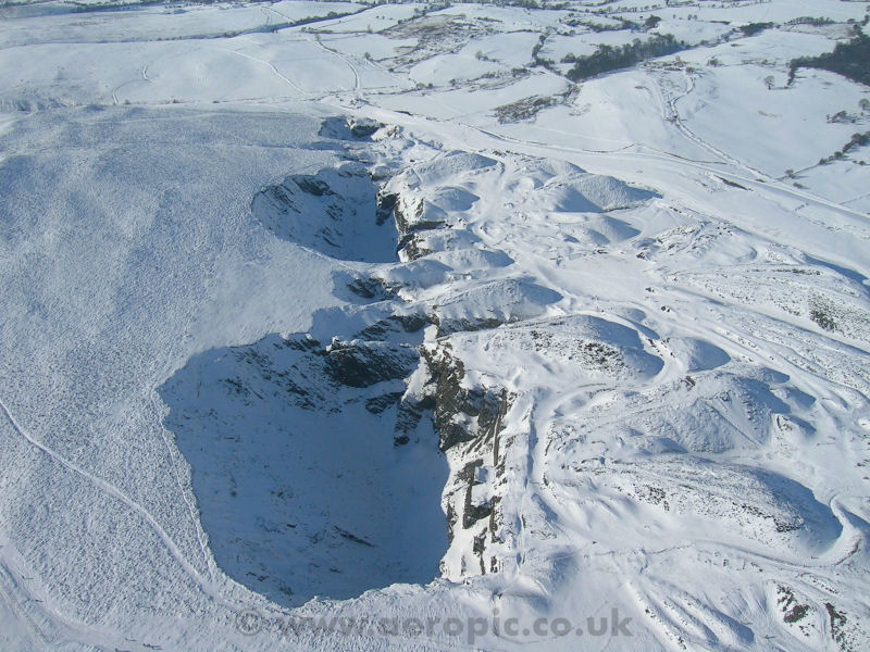
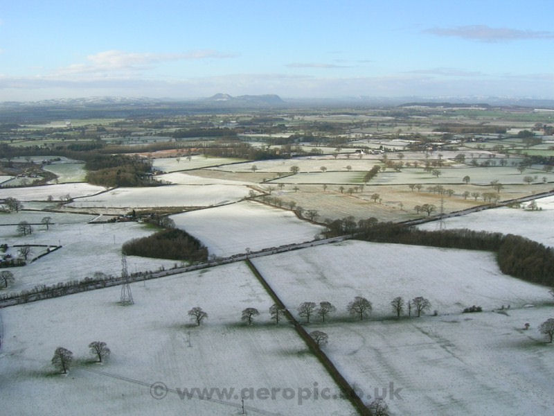
| Shropshire snow |
Near Shrewsbury, Shropshire, England |
All images are © Copyright E Penman 2003-2013 |
|
|
Top
|
|